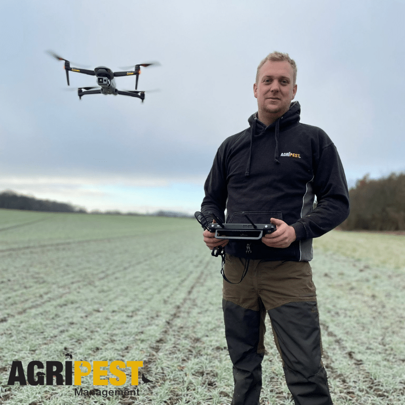
Land mapping using drones, also known as aerial surveying or drone mapping, involves utilizing drones equipped with cameras, sensors, and GPS technology to capture high-resolution images and data of a specific area or terrain. This method offers several advantages over traditional land surveying techniques due to its efficiency, cost-effectiveness, and ability to gather detailed and accurate information.
Here’s an overview of the process of land mapping using drones:
- Flight Planning: Our AgriPest drone pilot plans the flight path over the targeted area using specialized software. This software allows the user to define the area to be surveyed, set waypoints, altitude, and other parameters for optimal image capture.
- Drone Deployment: The drone equipped with cameras or sensors takes off and follows the predefined flight path. As it flies, it captures images or collects data at regular intervals.
- Data Collection: The onboard cameras or sensors capture high-resolution images, videos, or other data types depending on the purpose of the survey. Drones equipped with various sensors (such as LiDAR or multispectral cameras) can gather specific types of data like elevation, vegetation health, or 3D models of the terrain.
- Image Processing: After the drone flight, the collected images or data are processed using specialized software. Photogrammetry techniques are often employed to stitch together the images and create high-resolution maps, 3D models, or orthomosaic images of the surveyed area.
- Analysis and Interpretation: The generated maps or models are analysed and interpreted to extract valuable information. This could include land topography, vegetation health, land use patterns, infrastructure planning, or disaster assessment.
Land mapping using drones finds applications in various fields such as agriculture, environmental conservation, urban planning, construction, mining, and more. It provides detailed and up-to-date information about the terrain, allowing for informed decision-making, efficient resource management, and better planning of land management projects. Additionally, it minimizes the need for ground-based surveys, making it a cost-effective and time-saving solution for mapping large or inaccessible areas.