

WHICH DRONE SERVICE
DO YOU REQUIRE?
  |
  |
  |
  |
  |
  |
AgriPest Management – Leading the way in ground & aerial thermal technology.
What is thermal Technology?
Thermal imaging doesn’t rely on visible light; instead, it captures infrared radiation. This makes it effective in complete darkness or low-light conditions, providing visibility where traditional cameras would fail.
How could thermal drones and thermal technology benefit you?
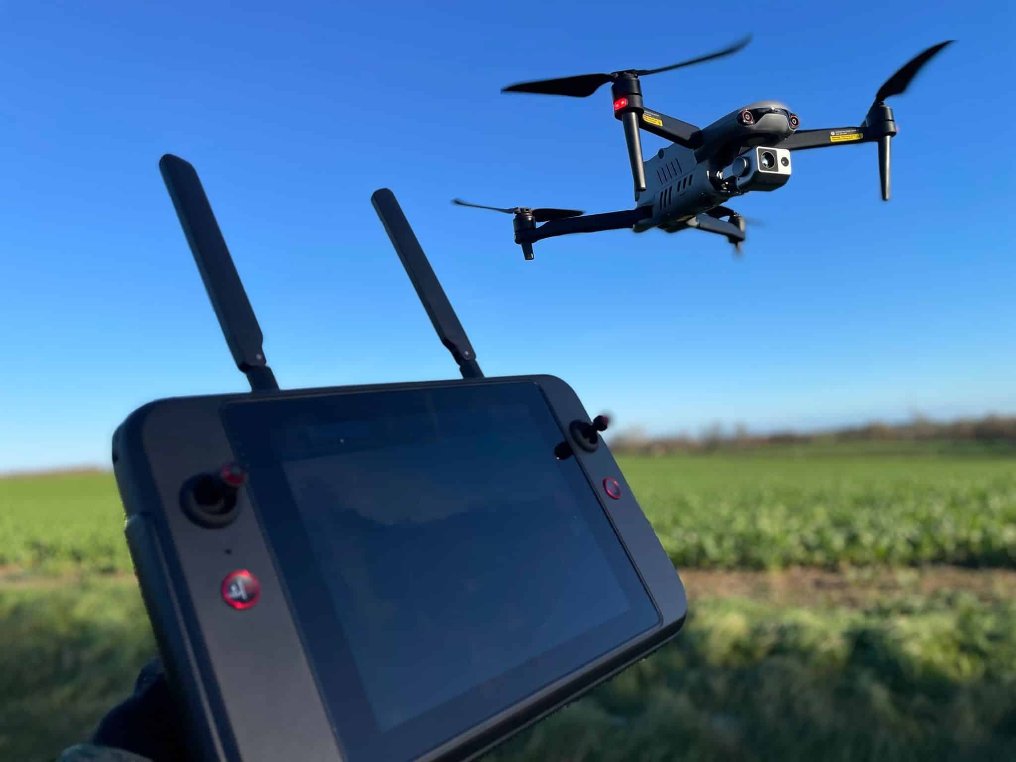
AgriPest’s thermal drones can be deployed within 2 minutes and specifically designed to cover vast, remote areas. Our Autel EVO V3 thermal drone is capable of flying 120m height with an aerial heat signature detection range of 1660 meters. Equipped with a 640×512 thermal sensor, 8k day time camera, 13mm focal length optical lens with 16x zoom and a 9.3 mile transmission range meaning this multi-functional eye in the sky can detect, track, record and relay real time data to our trained AgriPest pilots. Once interpreted, this data and prove invaluable in creating environmental management plans, conservation studies and wildlife population counts in a fraction of the time a conventual study may take.
Can thermal equipment record the footage we capture?
Yes. Our AgriPest thermal drone will operate in both day and night time conditions and is capable of capturing 8k day time images and video as well as thermal footage.
What are the benefits of a thermal drone over the more traditional handheld versions?
Thermal drones will give you uninterrupted views of vast areas of land, the drone is a fast, nimble tool that is capable of exploring areas of land the handheld thermal equipment just could not reach. The thermal drone can be tasked with flying specific zones or will track pre applied co-ordinates.
The thermal drone can offer a discrete alternative to ‘boots on ground’ as the drone will be flown up to 120meters the wildlife below will be completely unaware of our presence; this allows us to collate accurate wildlife study figures in a fraction of the time.
For example
A 2000 acre plot of land would usually take our team 3 nights to collate accurate wildlife figures, the thermal drone will achieve this same study 4 hours while gathering more accurate wildlife figures.
The drone method will save you time and money while offering significantly better results.

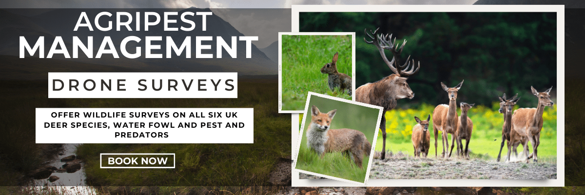
We offer drone services throughout
Yorkshire | Cumbria | Northumberland | Scottish boarders | Dumfries & Galloway | South Ayrshire | East Ayrshire | Lanarkshire | East Lothian | West Lothian | Stirling | Argyll & Bute | Perth & Kinross | Angus | Aberdeenshire | Highlands |
|
|
|
DAY AND NIGHT DRONE SURVEYS
With over 35 years of rural pest control experience, AgriPest have developed a reputation for being the go to company to track, locate and control a variety of pest and predator species. The AgriPest thermal drone now allows us to accurately locate and plot pest and predator species using the last geo location mapping technology. This technology allows us to build an accurate pest management plan and will allow landowners or organisations to determine if a control plan needs to be put into place.
OUR ASSOCIATIONS
AgriPest is proud to be associated with the following organisations and adhere to their codes of practice:
