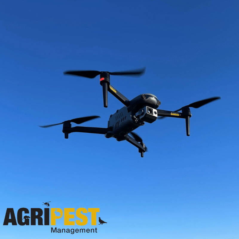
Using thermal drones for wildlife population counts involves employing drones equipped with thermal imaging cameras to detect and estimate the number of animals within a specific area. Thermal imaging technology detects heat signatures emitted by animals, allowing for the identification and counting of wildlife, especially in challenging conditions such as low light or dense vegetation.
Here’s an outline of the process for conducting wildlife population counts using thermal drones:
- Data Collection: The thermal camera captures heat signatures emitted by animals, differentiating them from the surrounding environment based on their temperature. This data is collected throughout the flight.
- Image Analysis: After the drone flight, the thermal images or footage are analysed using specialized software. Image processing software can be used to detect and count the heat signatures corresponding to wildlife within the images.
- Population Estimation: By analysing the thermal data, AgriPest can estimate the number of animals present in the surveyed area. Software algorithms may assist in identifying and counting individual heat signatures, providing estimates of the wildlife population.
Using thermal drones for wildlife population counts offers several advantages. It enables surveys to be conducted from above, reducing disturbance to the animals. Additionally, thermal imaging can detect animals that might be hidden or camouflaged in dense vegetation or darkness, allowing for more accurate population estimates.
This method has been applied in various wildlife management and conservation efforts, helping researchers and wildlife professionals monitor and manage populations of endangered species, study migration patterns, assess habitat use, and make informed decisions for wildlife conservation and management strategies.